Interviews
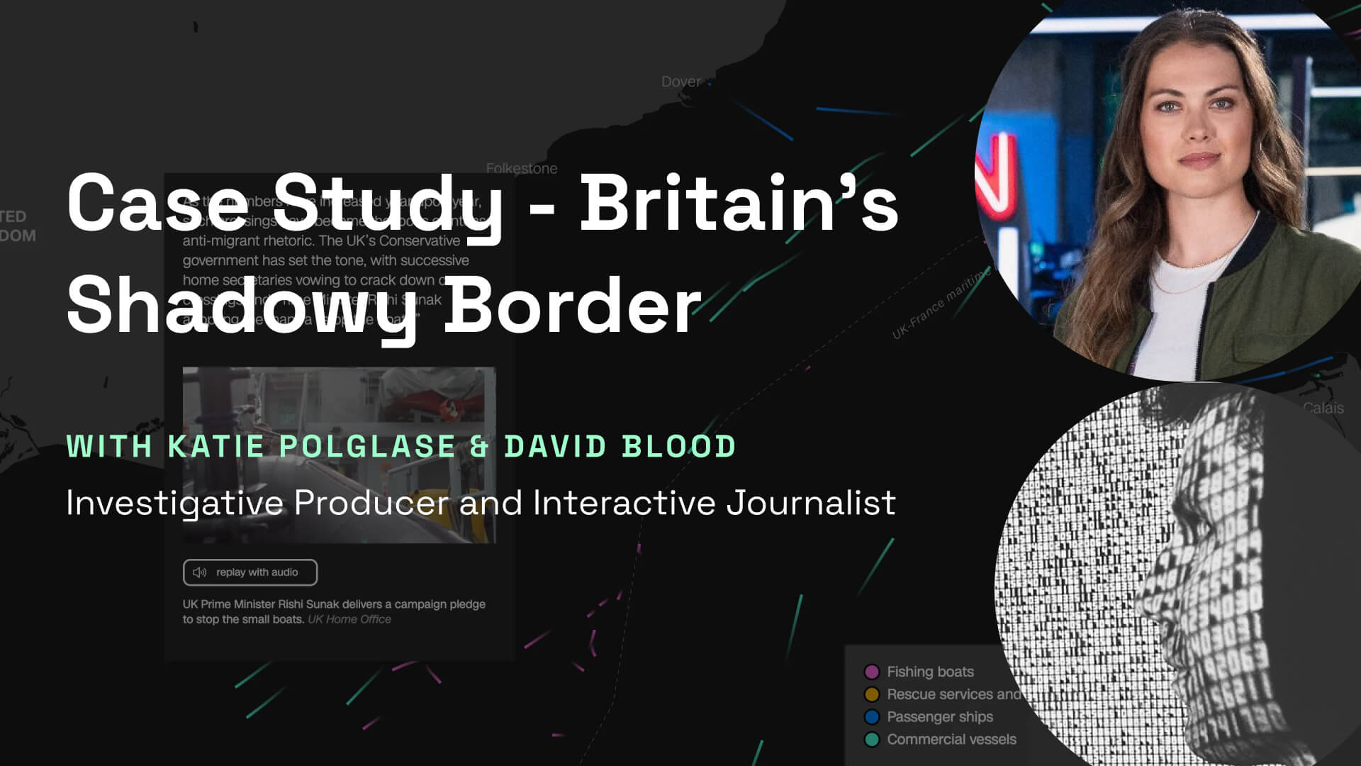
Case Study - Britain's Shadowy Border by...
In this case study, we looked at how David and Katie leverage OSINT and data journalism to investigate of tragic events involving migrants trying to reach Britain.
In this case study, we looked at how David and Katie leverage OSINT and data journalism to investigate of tragic events involving migrants trying to reach Britain.
Using platforms like Flightradar24 for drone tracking and the Open Sky historical database, they achieve a minute-by-minute forensic reconstruction of the events, correlating drone locations with refugees' WhatsApp coordinates.
Takeaways
- Using open-source data from volunteers was more transparent and efficient than working with local government authorities. The historical data from OpenSky and MaritimeTraffic was used to confirm the location of the drones and ships during the events.
- Plotting this data on QGIS they were able to build a forensic reconstruction of the scene minute by minute, to confirm the drone had previously flown within 600m of the WhatsApp location sent by the refugees.
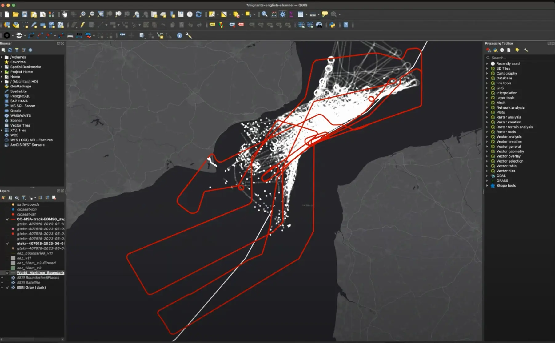
- The map animates historical spatial data using DeckGL, which is designed to render large datasets dynamically.
- To ensure no effort is wasted, David uses Storybook to channel his design and development process, creating a library of reusable elements that his team can benefit from. Graphics and interactives are still effort intensive, we should work to reduce that overhead by sharing that work internally to make visuals more accessible.
- Document the entire process to make sure you can justify the methodology later.
- As technology continues to grow we’ll process ever more spatial data (we all have a LIDAR camera in our pockets), visualisation will become a way to learn new information rather than a presentation tool.
- Open question to the community - the OpenSky data is in the form of individual pings, has anyone found a way to automate joining the pings into paths?